
HOME > Maps > 400x800 Topo Map
400 x 800 Topographical Map
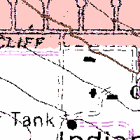
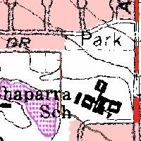
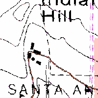
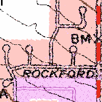
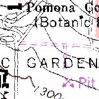
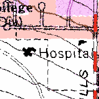
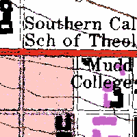
This topo map is 400 x 800 pixels with a resolution of 2 m per pixel is constructed from U.S. Geological Survey images dated 01 July 1981.
The map images were obtained from TerraServerUSA. These images are freely available for you to download, use, and re-distribute. The TerraServer team and the USGS appreciate credit for their work on this project by displaying the message “Image courtesy of the USGS”.
Note that the image is composed of tiles of 200 x 200 pixels, so if you want to download all of the image, you will need to download all the tiles (in this case, eight tiles). Clicking on a tile will take you to the tile in context at TerraServerUSA.
 |
 |
 |
 |
 |
 |
 |
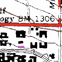 |
Image courtesy of the USGS.
© 2001-2012 Bernard Field Station Faculty Advisory Committee
Page last updated 6 September 2012 by Nancy Hamlett.